Humidity

Dry air contains less water vapor than the air above the rain forest and the amount of water vapor in the air is called humidity. Warm tropical air contains more water vapor than the pole. Relative humidity is the ratio of the amount of water vapor that can exist at that temperature. Relative humidity is always expressed by percentage. If the relative humidity is 100% air is said to be saturated.
The maximum amount of water that could be in gas is greater in high temperature than low. When the temperature decreases the maximum capacity also decreases. When the temperature increases the maximum capacity increases but the relative humidity stays the same. The temperature which air gets saturated is called the dew point. If the temperature decreases water vapor will condense.
Water vapor typically condenses as dew, frost, clouds, or fog. Frost is formed when water vapor in the air changes from gas to solid crystals.
Stratus clouds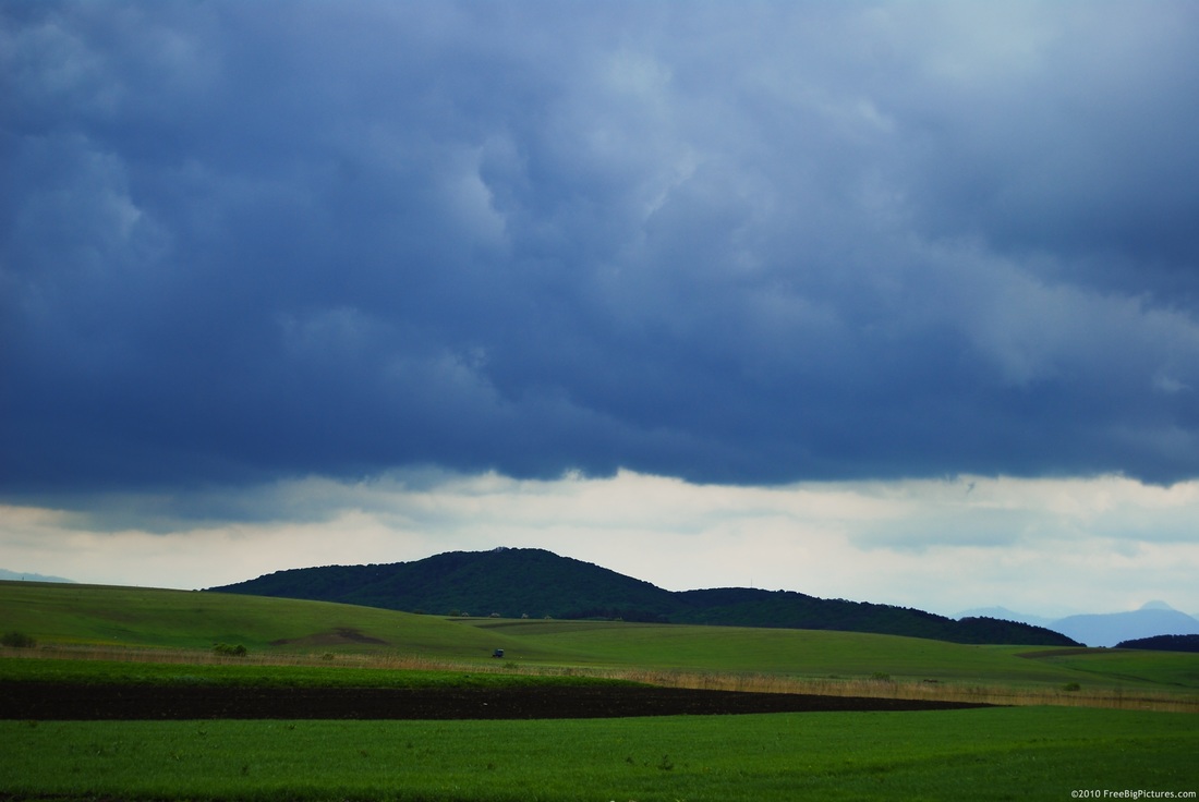
Cumulus clouds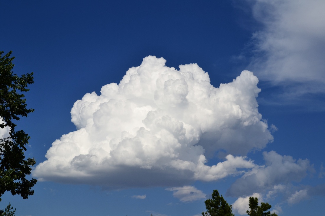
Cirrus clouds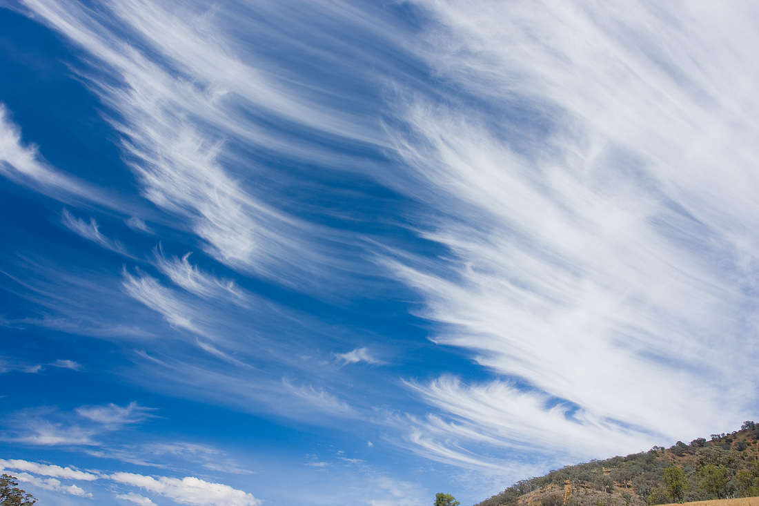
|
CloudsCloud is a dense, visible mass of tiny water droplets or ice crystals that are suspended in the atmosphere. The droplets contained in the cloud are very small that one cloud could contain billions of droplets. Clouds form as warm, moist air rises and water vapor condenses in the atmosphere. water vapor condenses when temperature drops below dew point, this happens when warm air rises through the atmosphere. As air rises the air pressure decreases and as a result condensation occurs which leads to cloud formation. For a cloud to form solid, water must condense upon. when the temperature cools the droplets become crystals.
The first cloud classification system was made in 1803 by Luke Howard. There are three basic cloud forms: stratus, cumulus, and cirrus. Clouds are grouped into families by the altitude which they occur. Fog is a cloud that is near to touching the ground. Fog is formed when warm moist air passes through land or by cooling humid air to dew point. Stratus clouds Stratus clouds are flat layer of clouds that covers all of the sky. the word stratus means “spread out” in Latin. Nimbostratus clouds are low stratus clouds that produces rain or snow. Nimbo means precipitation. Altostratus clouds, which are middle level clouds, covers most of the sky. these cloud produces light rain and snow. Alto is used when the altitude is between 2000 and 6000. Cumulus clouds Cumulus clouds are puffy white clouds that looks like piles of cotton balls. The word cumulus means “heap” in Latin. Cumulus clouds are “fair weather clouds” often see in sunny days. Cumulonimbus clouds are dark towering cloud that had heavy precipitation and thunder that is above 2km. Cirrus clouds Cirrus clouds are white wispy clouds with feathery appearance usually seen high above ground in a sunny day. The prefix cirro is used on high altitude clouds.Since temperature in high altitude are low, the cloud is made of ice crystals. Cirrus clouds have no precipitation except for high altitude areas. |
Precipitation
The most common types of precipitation are rain, snow, hail, sleet and freezing rain.
Rain
Rain is liquid precipitation formed in nimbostratus or cumulonimbus clouds.
Snow
Snow is precipitation in form of solid and the shape of the ice crystals and snowflakes are depended on the temperature.
Hail
Hail is a precipitation in form of solid pieces ore than 5mm diameter. Hail forms in cumulonimbus clouds by small ice pallets going up and down. When the droplets combine and freezes it becomes hail.
Sleet
Sleet is precipitation in form of ice particles smaller than 5mm and it forms when water freezes as it falls.
Freezing rain
Freezing rain is rain that freezes after it hits the surface
